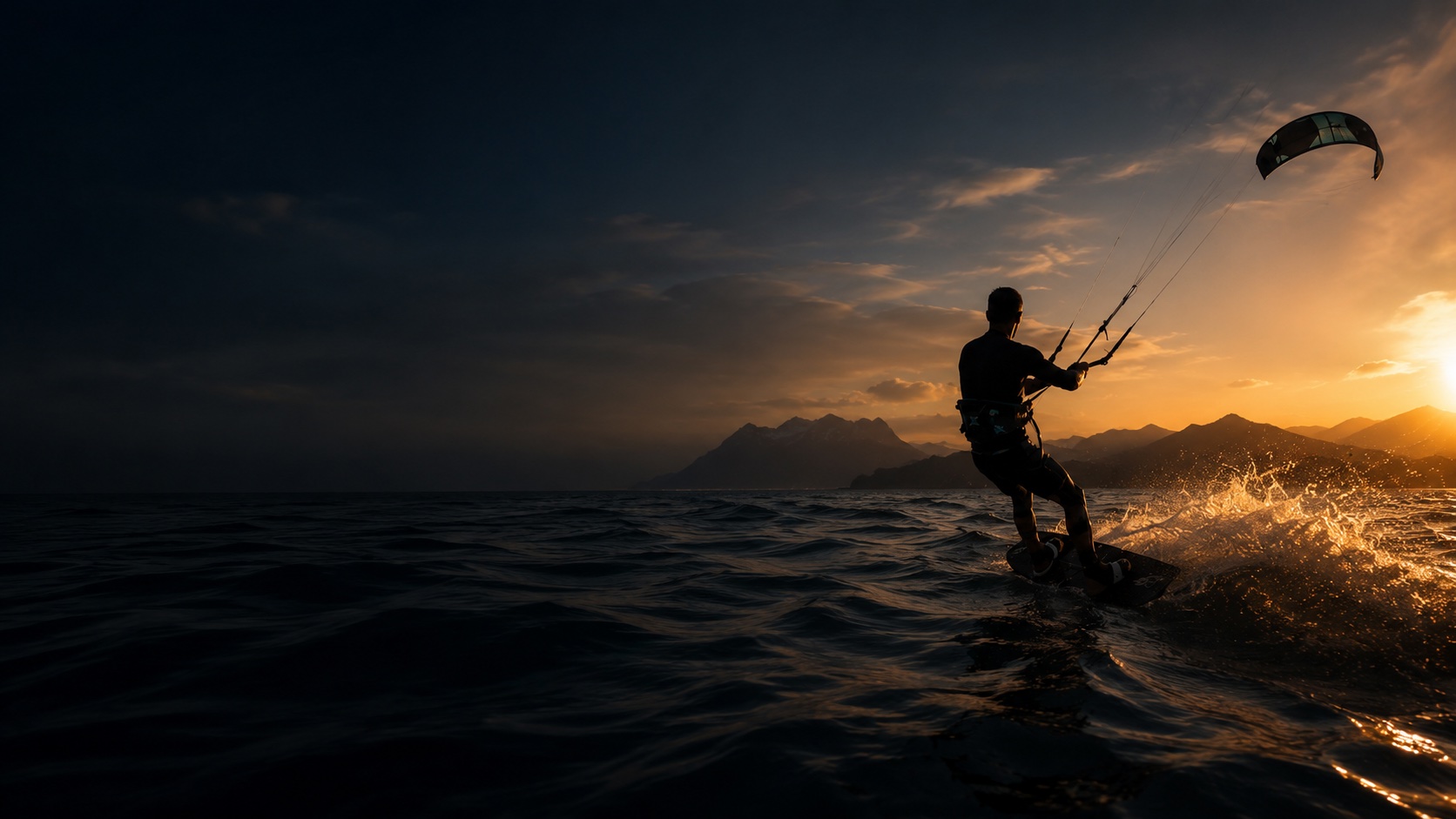
How this leg runs
A serious Northern California coastal run — cliffs, cold water, and kelp beds to navigate on the way from Waddell Creek down to Davenport. Not a leg to attempt without a full plan.
Safety notes
Advanced cold-water coastal downwind. Check swell, kelp, cliffs, current, landing access, and rescue plan before launch.
Rescue & exits
Limited beach exits. Arrange vehicle pickup and avoid attempting alone. Full wetsuit and emergency communication recommended.
What AYON Wind shows on this leg
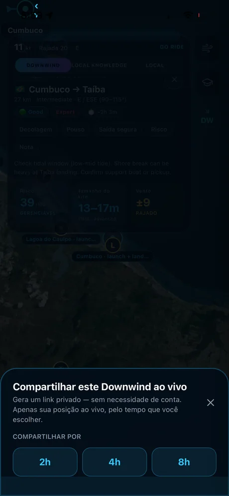
Route plan, risk points, and safe exits on the live map
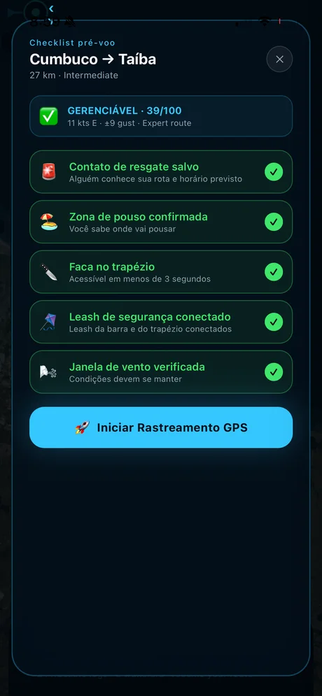
The pre-flight safety checklist before tracking starts
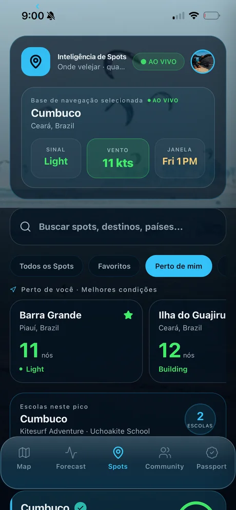
Live GPS sharing your crew can follow in any browser
Take AYON Wind with you.
Current wind, gusts, and direction for every spot in this guide — plus route intelligence for the downwinders. Built by riders who call this coast home.
Other downwind routes
Open this route in AYON Wind
Live risk score, kite-size match, and GPS tracking for this exact leg.
Open this route in AYON Wind